Wednesday, October 31, 2012

Blue Mountains


The Blue Mountains are about a 45 minute drive west of Sydney, and are absolutely beautiful. The best known attraction is the Three Sisters. Scenic World is the main tourist park in the area. We decided to spend most of our day there since Laurel was pretty pregnant. We chose one of the relatively low-key walks, instead of taking one of the longer, self-guided bushwalks. We were not having a baby in the woods. Although, if we had, there are far worse things to be the first thing the baby sees.


The selling point for Scenic World is that they have a system of trains and cable cars to get you around and see all the views. The first one we rode was the SkyRail. At it's highest point, the SkyRail is 270 metres above the ground. In the middle of the "vehicle" is a glass floor. Greg was not a fan. Once we made it to solid ground again, we started a thirty minute hike around the canyon rim towards the Three Sisters taking in some amazing views along the way.


It's a dangerous hike though, and you have to keep your wits about you. Cave and rock gremlins lurk everywhere. Even very pregnant gremlins.


Like we said, beautiful right?


The Three Sisters! They think at one time there might have been as many as seven, but the other four eroded away thousands of years ago. Geology is incredible.


One of the many perks of being the Queen is that anytime you go anywhere they make a plaque to commemorate it.


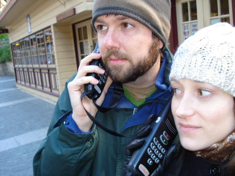
They probably won't put a plaque there but in August of 2012, Laurel and Greg Otey were also there.


Next, we took a cable car down into the valley to check out the old mining areas. This is a view looking up from our decent. Seriously steep. We had a spot at the front of the glass-walled cable car, which as soon as it started to tip over the edge, Greg realized what a terrible, terrible mistake we had made. At least when we fell to our death, we would be able to see what was coming and not just the back of someone's head.


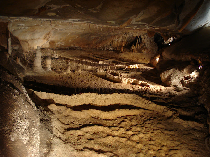
Amazingly, we did not fall to our deaths. The cable car took us down into the forest canopy, to an area that was originally mined for coal. We had a nice walk, although it was much, much colder now that we were out of the sun. At one point in out walk, we came across this rusted out piece of metal. A sign told us that it was the counterweight for the original cable car. Now, it was just laying in the middle of the trees along with a very long length of cable and various other bits of metal. It doesn't make sense for anyone to have put it there, so we're thinking they just left it where it fell. Which begs the question, "What happened, exactly, to the first cable car?"


They had some mock-ups and informational signs on the coal industry in the area. We took this picture more for the magpie just hanging out about the coal. Note his evil red eye. We think he may be a friend of the evil swan that tried to get Laurel at Lake Burley-Griffen last year.


To get back up to the top, where the Scenic World entrance/exit was located, we took the train. Generally, you do cable car one direction and train back the other since they're at each end of the mining area down in the valley. The train ride is a 52 degree ascent/descent, which makes it the steepest cable-driven train in the world.


The interior of the train feels more like a caged rollercoaster car, rather than a traditional train car. Here's Greg showing off the modest interior.


And here's a view from the top looking back down the tracks. The photos really don't do the severity of the angle justice. We were both glad we chose to take the train back up, rather than down.


After Scenic World, we did a bit more exploring around the cities of Leura and Katoomba. We did a little shopping and enjoyed a delicious high tea which featured a generous assortment of fancy sandwiches, scones, and treats. One of the shops we stopped in made the most incredible assortments of chocolates and truffles. Clearly, we were too busy tasting and buying the truffles to remember to take any pictures. It was a really great trip!

Sunday, October 7, 2012

Jenolan Caves

In early August, we took another weekend trip from Canberra, north this time to the Blue Mountains, which are about 45 minutes west of Sydney. On the way we stopped in the (very) small town of Jenolan. This pictures captures approximately 45% of it.


Now the reason Jenolan exists, and that it's a UNESCO World Heritage Site, is the elaborate caves that snake through the area. About a dozen have been identified and fully explored, all formed by an underground river that still flows and is probably forming new caves now. We started off our time there with a self-guided tour through the Nettle Cave. We are good tourists and were very interested while we listened to the tour guide on our personal receivers.


The Nettle Cave is an open-air cave, something we had never heard of. This means it's technically above ground and is kind of a hollowed out dome. It's made of limestone and is over 450 million years old. It's also the home of the Sooty Owl. While we didn't see any, which is fine, they sound kind of terrifying, we learned quite a bit about them. They are about a half-meter tall, and are highly territorial, so much so that roosts are passed down from generation to generation. Some of the roosts they have been able to carbon date to an age of about 16,000 years! What makes them truly scary though is that their hoot sounds remarkably similar to a falling bomb, and when echoing around the caves, probably contributed to Nettle Cave's other name, the Devil's Carriage. The man who named it swore that one night he heard the devil and his horses riding through the cave, but people nowadays assume he was pretty drunk and just heard the owls.


This is the Grand Arch, and it makes Jenolan Caves the only caves in the world to have a major road running through the middle of it. The caves were discovered in the 1800's, and were used by explorers as a camping spot, dance hall, and theatre. It's still used for music performances today.


Just because we love things like this, here's the inside of the bathrooms. Pretty much a flimsy wall and a chemical toilet pushed up to the side of the rock. We found this hilarious.


As we said, there are about a dozen caves that you can tour. We opted for one of the easier hikes, Laurel being pregnant and all, and selected the Imperial Cave. Our tour guide was an older man who had retired to the area, because he "loves the caves, and doesn't need a gym membership with all the stairs." We liked him. To demonstrate how serious caves were, he flipped off the lights, plunging us into pitch black darkness, "Sensory deprivation sets in almost immediately. Eventually you lie down, curl up, and wait for help to come." At the front of the cave was a first aid kit and a defibrilator . . . just in case.


Electricity was installed in the early 1900's. Most of the wiring and fixtures installed then, are still used today. Before that point, explorers used candles and magnesium wire for light. That's some hardcore exploring!


All stalactites and stalagmites are crystal formations; mixtures of rock, in this case limestone, and water that changes the chemical composition. The formations that sparkle are finished. Water is no longer running down them, and they will remain their current size forever. They sparkle because they are dry. The waxy looking ones are still active and growing.


The Imperial Cave was discovered completely by accident when a man by the name of Ridley fell down a hole into the cave. On the way down he bounced on some early electrical wiring that had been strung for other caves, which slowed his fall. While he survived, he spent several months in the hospital recovering. With a typical Aussie sense of humor, the hole he fell through was christened "Ridley's Shortcut."


This unique, tiny stalagmite formation is nicknamed "The City." This might have been Greg's favorite part. He wants to go back and put some lego men amongst the formations.


Before the tour, they warned us all to walk with a crouch since the ceilings were very low and you could very easily bang your head. This was not a concern for Laurel.


Here is the underground river. The water was crystal clear. Since it's so dark, and regular tours now come through, nothing lives in the caves anymore except for a species of micro-bat. However, bones found amongst the caves show that Tasmanian Devils, among other creatures, used to live and thrive here many millions of years ago.


After a great day of cave exploring we finished our drive north and stayed in the town of Leura, nestled in the Blue Mountains. We went out for a well-earned fancy dinner. Stay tuned for our adventures in the mountains and some great pictures of the Three Sisters (no, not the Jacksons).


Saturday, October 6, 2012

Christmas in July (2)!


As many of you may already know, Greg turned 30 this year. Laurel had a surprise- she booked us in for the Christmas in July seven course feast at Sweet Copper. We blogged about attending this last year, it was a fantastic evening. Greg had completely forgotten about it this year, but fortunately, Laurel had not.  

For some reason (too busy stuffing them in our faces) we didn't get pictures of the first two courses, a pesto on toast, and a cold crab and prawn salad. Just picture them in your head, and envision the goodness. Seriously, the crab and prawn salad was probably the best thing we had all night, and for quite some time before it. Anyway, the third course was billed as "Refresh"- a cup of fresh mangoes and strawberries, mixed with yogurt and champagne, and a lychee on top. Laurel had a non-alcoholic version.


Ah, the main course. A Christmas feast. Traditional Aussie Turkey roll- a layer of ham wrapped around a turkey breast and stuffing and then baked, with roasted vegetables, potatoes, and chestnuts. We'd never had roasted chestnuts before, so it took us a little bit to figure out what they were, but man they were good. We are going to have to look into how to make those for proper-Christmas this year.


Look at those two happy people getting ready to tuck into a feast, after having already eaten what amounts to a feast. And don't worry, that's sparkling apple juice in Laurel's glass.


Now, this is how you do dessert. Sliced apples and strawberries and a molten chocolate cake, cup of cream on the side. Mmmmm, deliciousness.


Such a great night, and a great way to spend Greg's birthday. Laurel is the best!


Goulburn-Jervis Bay-Fitzroy Falls

Back in June, we decided we needed to finally start taking advantge of Canberra's location and do some of the day and weekend excursions in the area. Top of the list was to go to Jervis Bay on the coast to watch the whales migrate north. The waters of the Antarctic get too chilly for them in the winter, so for two months every fall you can watch them swim up along the Australian coast (or back down it every Spring). We decided to make a weekend of it and stopped at a few places along the way.
 
The first stop was Goulburn, which was Australia's first inland city. City, of course, being used very loosely here. Goulburn's economy was, and still is, powered by the local wool industry enabled by the importation of a large number of Merino sheep from England at the turn of the century. To honor this tradition, the city of Goulburn has constructed "The Big Merino." Isn't he majestic?
 
 
There is a small musuem and gift shop. Laurel got some really nice leather gloves. You can also walk up inside and look out the sheep's eyes. Totally worth a stop. The Big Merino is part of a, mind the pun, grand tradition in Australia where small towns build large monuments of ordinary things as a way to boost tourism. There are giant bananas, prawns, the list goes on and on. Laurel's co-workers insist that this is just one of the many things Australia is world famous for. That's a little bit of a stretch.

The town of Huskisson is the nearest town to Jervis Bay and we stayed in a very cute Bed and Breakfast right off the main stretch of town. The following morning, after an amazing breakfast that included homemade poached fruits, we set out to the bay to meet our whale watching boat, and for an ice cream snack.


Our boat! We were on the Whale Watching Extreme tour, because that's how we live our lives- EXTREME!!


Australia is a very rugged country, and it does not have the long, sandy beach coastlines that we associate with the ocean from east coast United States. It's more sheer cliff-face, with small beaches and bays nestled in here and there. It's understandable why there were so many shipwrecks back in the day and why Sydney Harbor was such a prized area in the exploration and colonial days.


The ocean current (the same one immortalized in "Finding Nemo") runs right off the coast, flowing south, so the whales swim right up next to the rocks to avoid swimming against the current. Lucky for us since it makes it way easier for us to see them.


After a few misses and getting quite a few pictures of nothing but ocean, Laurel figured out the rhythm and started getting some great pictures. We figure we saw about seven different whales, most of them Humpbacks (thanks Star Trek IV!). Laurel also saw a seal, but Greg was looking the wrong direction.


The ultimate in whale pictures- the whale tail!


When one of Greg's coworkers came to Jervis Bay it was apparently a very windy day, and the boat was rocking so much that some people got seasick. Apparently, this is a great time to see whales, as their guide said, "Whales love wind." They saw several whales full on breach out of the water, and slam back into the ocean. We didn't have any of that, but we saw planety of whales, and it was a beautiful day. We'll consider it a success.


After saying hello to the whales we drove a little farther down the coast to see Hyamm's Beach, which supposedly has the whitest sand in the world. I'm not sure if it's the whitest, but it's pretty white. Also very rare, since the whole beach was maybe 40-meters across.


What is it about rocks that just make you want to stand on them?


This is the greatest sign ever. Beware of cliff.


On Sunday, as we were driving back, we first went a little farther south to enter the Jervis Bay National Park to visit the old lighthouse on the cliffs. It's also a great place to look out for whales.


This lighthouse has a great story behind it. When it was decided that a lighthouse was needed due to the frequent and catastrophic shipwrecks in the area, no one bothered to consult anyone with a nautical background. Instead the engineers just built the lighthouse and figured any high point was fine. Not so fine. Turns out, they put it in about the worst possible place, as the number of shipwrecks actually went up. Mariners followed the light, and it promptly led them into the rocks. It was also considered to be haunted as several of the lightkeepers and their familes suffered unfortunate tragedies. Eventually, the lighthouse was torn down, well blown-up actually, and a new one, after proper surveying, was constructed on the other side of the bay. 


Some of the nefarious rocks below.


On the return drive home we made our last stop at Fitzroy Falls. It's funny, you are driving along the highway, stop in the carpark, and only as you begin to walk along the trail do you realize that you've been driving pretty high up over the valley. The land just opens up, it's incredible. The Falls couldn't have been more than a half kilometer hike.


It's also interesting just how much of a change elevation makes to the climate. When we stopped for lunch in a small town in Kangaroo Vally it was sunny and hot. We had coats, but didn't need them. Just a thirty minute drive up the road, granted a road that took us up about 600 meters of elevation, it was quite chilly with a fair amount of wind. A very nice scenic walk, just a surprisingly cold one. We kept an eye out for platypus, but once again, sadly, we didn't see any.


Below the falls stretches the immense Kangaroo Valley. Such a beautiful country.